Boston MBTA subway system map USGS topographic map, 1905 Building footprints from MassGIS LIDAR survey Color aerial photograph, 2005 Population data, 2010 U.S. census Hydrographic survey of Boston Harbor (US Coast and Geodetic Survey, 1857) Real estate map of commercial properties Contour map with hypsometric tints Chart of the Harbour of Boston from the Atlantic Neptune (Des Barres, 1775)

Beehive Mapping

Custom cartography and mapmaking services

Organizing information in all fields

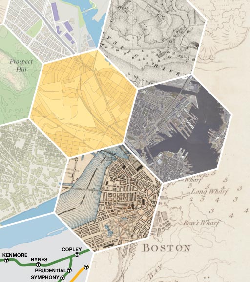
Boston, Massachusetts