Beehive Mapping portfolio

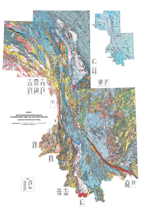
Tectonostratigraphic Map of Southeastern Tibet and Adjacent Regions
Geologic Society of America, 2013
B. Clark Burchfiel
M.I.T. Department of Earth, Atmospheric and Planetary Sciences
Large format, 2m x 3m, geology map compiled from manuscript sheets, redrafted in Adobe Illustrator and subsequently converted to layered PDF files and GIS shapefiles for distribution with the book Tectonics of the Southeastern Tibetan Plateau and Its Adjacent Foreland.
Click on thumbnails to view portfolio pages.
Hover over the sample to zoom in.
Highlight a category of maps from the menu above.
