Beehive Mapping portfolio

Bloodlands
Europe Between Hitler and Stalin
Timothy Snyder
Basic Books, 2010
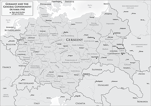
Thirty-six grayscale maps covering conflict across Eastern Europe in the first half of the 20th century. Maps vary in scale and level of detail from regional overviews of Germany and the Soviet Union, to battle maps of Operation Barbarossa, and street plans of the Warsaw Ghetto.
See also a sample map from Timothy Snyder's latest book Black Earth.
Click on thumbnails to view portfolio pages.
Hover over the sample to zoom in.
Highlight a category of maps from the menu above.
