Beehive Mapping portfolio
Sea-level station data inventory
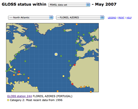
Global Sea Level Observing System (GLOSS) — an observing component under the Global Ocean Observing System (GOOS)
Intergovernmental Oceanographic Commission of UNESCO
Web application developed to provide access to a series of interactive regional ocean maps. Each map includes information about the status of sea-level observing stations that are part of a global system used in climate studies and for monitoring tsunamis.
Click on thumbnails to view portfolio pages.
Hover over the sample to zoom in.
Highlight a category of maps from the menu above.